Bijele vode
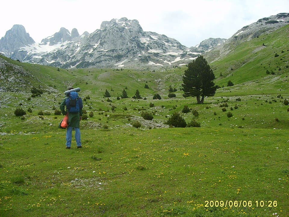
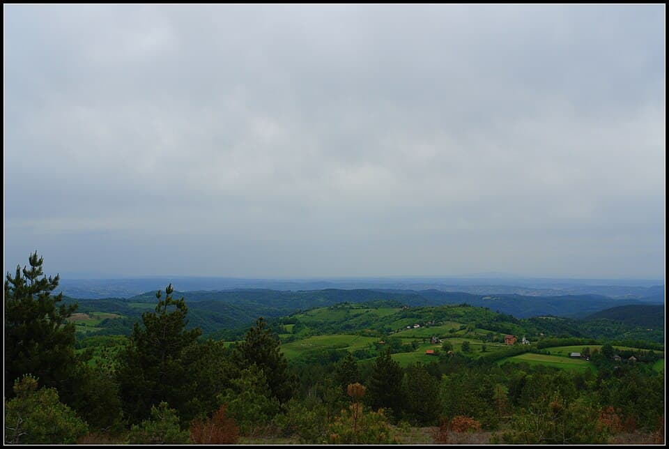
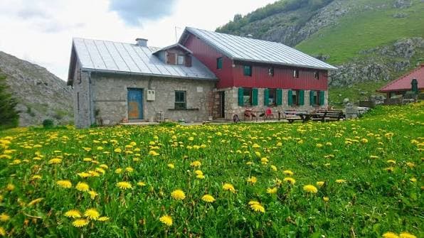
Bjelašnica / Igman · 1250 m
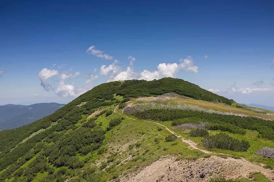
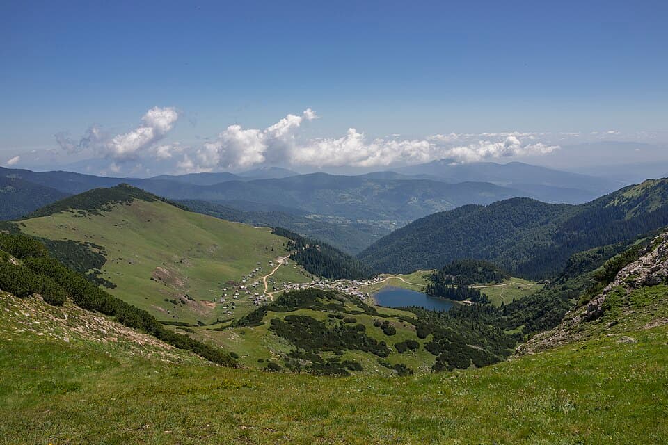
A trail junction where the Igman, Bjelašnica and Treskavica routes meet — a good lunch stop rather than a base.
Overnight stays by prior arrangement only.
Nearby: Igman, Bjelašnica, Treskavica
Plan a multi-day hike
A planinarski dom is a mountain hut kept by a local hiking society. Some are staffed lodges with a warden, hot food and beds you can reserve; others are open shelters left unlocked all year, where you carry your own sleeping bag and food. Between them they make the long routes across Bjelašnica, Prenj, Čvrsnica and Zelengora possible.
Capacity, opening hours and winter access change from season to season, and many huts are staffed only at weekends. Call ahead before you set out.
35 huts · 6 regions
35 huts

Bjelašnica / Igman · 1250 m
A trail junction where the Igman, Bjelašnica and Treskavica routes meet — a good lunch stop rather than a base.
Overnight stays by prior arrangement only.
Nearby: Igman, Bjelašnica, Treskavica

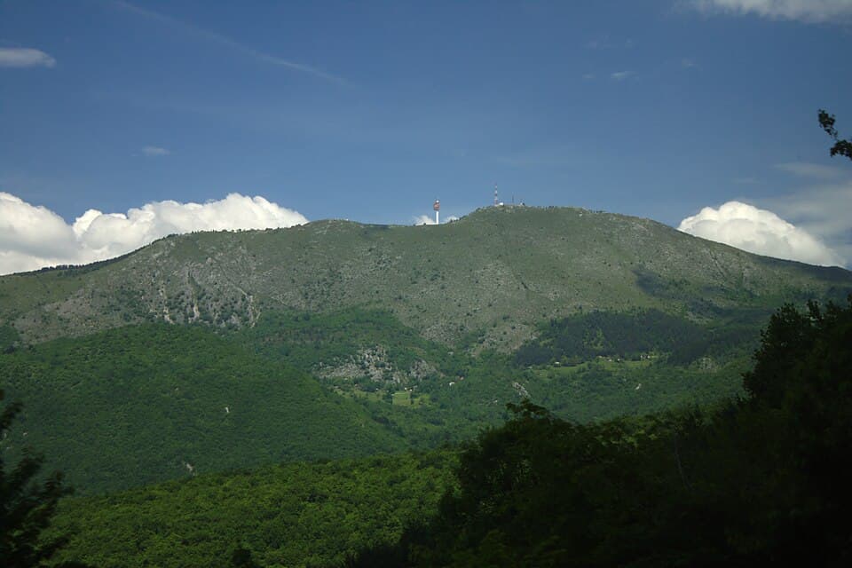
Igman · 1100 m
Rooms and a restaurant on the Igman plateau, open all year. Reachable by car on a gravel road or on foot from Malo Polje, which makes it the easiest first hut to try.
Permanently open.
Nearby: Igman, Bjelašnica

Treskavica / Bjelašnica · 900 m
An alpine-style lodge near Dejčići with paved access, about 30 km from Sarajevo, at the foot of Treskavica.
Nearby: Treskavica, Bjelašnica
Approximate location — verify before navigating

Treskavica · 1250 m
Reached from Dejčići or Trnovo and the standard base for the Treskavica lakes and Mala Ćaba.
Nearby: Mala Ćaba, Veliko jezero, Crno jezero
Approximate location — verify before navigating

Bjelašnica · 1500 m
Above the village of Umoljani, run by PD Ljuta. A base for Obalj, Lukomir and descents into the Rakitnica canyon.
Nearby: Obalj, Lukomir, Rakitnica
Approximate location — verify before navigating

Bjelašnica · 1470 m
Rooms in Lukomir, the highest permanently inhabited village in the country, right on the rim of the Rakitnica canyon.
Nearby: Lukomir, Rakitnica, Obalj
Approximate location — verify before navigating

Trebević · 1100 m
The closest hut to Sarajevo: take the cable car and walk about 30 minutes. Popular for a half-day out rather than a night away.
Limited beds, overnight by arrangement.
Nearby: Trebević

Jahorina · 1500 m
A mountain lodge on Jahorina, within easy reach of the ski resort and of the ridge walks above it.
Nearby: Jahorina

Bjelašnica · 1550 m
Sits on the northern slopes above Ljubovčići and is the usual starting point for Krvavac and the Bjelašnica summit ridge.
Nearby: Krvavac, Bjelašnica

Bjelašnica / Treskavica · 1200 m
Known for home cooking and clean rooms, and well placed for Treskavica, the village of Lukomir and the Rakitnica canyon.
Nearby: Treskavica, Lukomir, Rakitnica

Prenj · 1500 m
A simple shelter roughly halfway along the Rujište to Zelena glava route, useful if the weather turns.
Unstaffed — carry everything you need.
Nearby: Zelena glava
Approximate location — verify before navigating

Prenj · 1700 m
An unlocked shelter on the Konjic to Zelena glava route and one of the key Via Dinarica stops on Prenj.
No warden and no electricity — bring a sleeping bag and mat. There is a spring nearby.
Nearby: Zelena glava, Otiš

Čabulja · 900 m
A small lodge in Bogodol at the foot of Čabulja, the quieter neighbour of Čvrsnica.
Nearby: Čabulja, Velika Vlajna

Prenj · 1050 m
The classic Mostar-side base for Prenj, with the long climb towards Zelena glava starting at the door.
Nearby: Zelena glava, Lupoglav

Čvrsnica / Vran · 1200 m
Lodging inside Blidinje Nature Park, between Vran and Čvrsnica and beside the lake of the same name.
Nearby: Vran, Čvrsnica, Blidinjsko jezero
Approximate location — verify before navigating

Velež · 1200 m
Sits below the Velež cliffs above Mostar with a good access road, so it works as a day trip from the city.
Overnight stays by prior arrangement.
Nearby: Botin, Velika Vlajna

Čvrsnica · 1950 m
The highest hut in the country and the base for Hajdučka vrata and Pločno, the Čvrsnica summit.
Open at weekends through the summer season.
Nearby: Pločno, Hajdučka vrata

Bitovnja · 1400 m
A lodge on the Bitovnja ridge between Konjic and Fojnica, on a rarely walked link between Vranica and Bjelašnica.
Nearby: Bitovnja
Approximate location — verify before navigating

Vlašić · 1400 m
A shelter under Paljenik, the highest point of Vlašić, out on the open pastures.
Nearby: Paljenik
Zvijezda · 1100 m
Quiet, old-school hut above Vareš on the Zvijezda massif, with almost no crowds even at weekends.
Nearby: Zvijezda, Perun

Vranica · 1650 m
Katun-style shepherd huts scattered around the glacial lake, several of which take guests in season.
Summer season only — nothing is staffed once the snow arrives.
Nearby: Nadkrstac, Vranica

Vranica · 1400 m
Run by PD Fojnica, with a botanical garden beside the lodge. The usual base for Prokoško jezero and Nadkrstac.
Nearby: Nadkrstac, Prokoško jezero

Vlašić · 1200 m
At the Babanovac resort on Vlašić, the practical starting point for the plateau and for Paljenik.
Nearby: Paljenik, Opaljenik
Approximate location — verify before navigating

Klekovača · 1300 m
Between Bosanski Petrovac and Drvar, deep in the old-growth forest that surrounds Klekovača.
Nearby: Velika Klekovača, Lom
Approximate location — verify before navigating

Cincar · 1500 m
A large lodge run by PD Cincar Livno in the Kamenica locality, with room for a full group under Cincar.
Nearby: Cincar

Dinara / Kamešnica
On the Livno side of the Dinara–Kamešnica range, the border ridge shared with Croatia.
Nearby: Kamešnica, Troglav
Approximate location — verify before navigating

Šator · 1500 m
Beside Šatorsko jezero near Bosansko Grahovo, an hour or so below the summit pyramid.
Nearby: Šator, Šatorsko jezero
Approximate location — verify before navigating

Maglić · 1650 m
The saddle below Maglić, the highest peak in the country, and the launch point for both the summit and Trnovačko jezero.
Basic shelter only — plan on a tent or a sleeping bag.
Nearby: Maglić, Trnovačko jezero

Romanija · 1300 m
On the Ravna Romanija plateau east of Sarajevo, surrounded by the limestone cliffs the mountain is known for.
Nearby: Velika Gradina, Romanija
Approximate location — verify before navigating

Zelengora · 1550 m
A lodge right by the lake in Sutjeska National Park, the standard first night on a Zelengora lakes traverse.
Nearby: Donje Bare, Bregoč
Approximate location — verify before navigating

Zelengora · 1450 m
On the shore of Orlovačko jezero, the easiest of the Zelengora lakes to drive to.
Nearby: Orlovačko jezero, Zelengora
Approximate location — verify before navigating

Konjuh · 1100 m
The busiest hut on Konjuh above Kladanj and the base for Bandijerka, the main summit.
Nearby: Bandijerka, Konjuh

Majevica
On the long, gentle Majevica ridge above Tuzla and Srebrenik — low hills, easy walking, big views north.
Nearby: Majevica, Banj brdo
Approximate location — verify before navigating

Ozren · 700 m
A forest lodge on Ozren between Doboj and Petrovo, a short outing from either town.
Nearby: Ozren, Kraljica

Konjuh · 800 m
A lower lodge in the Zlaća recreation area, an easy family-friendly way into the Konjuh forests.
Nearby: Konjuh, Bandijerka
Approximate location — verify before navigating
Kojeza guides and hiking societies run multi-day tours that sleep in the huts on this map.
Browse tours